[kkstarratings]
Language: English
Ressource Type: maps
Theme: Australia
Age-range: 7 – 11 years
Free Download:
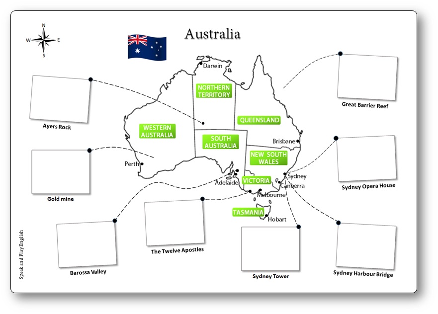
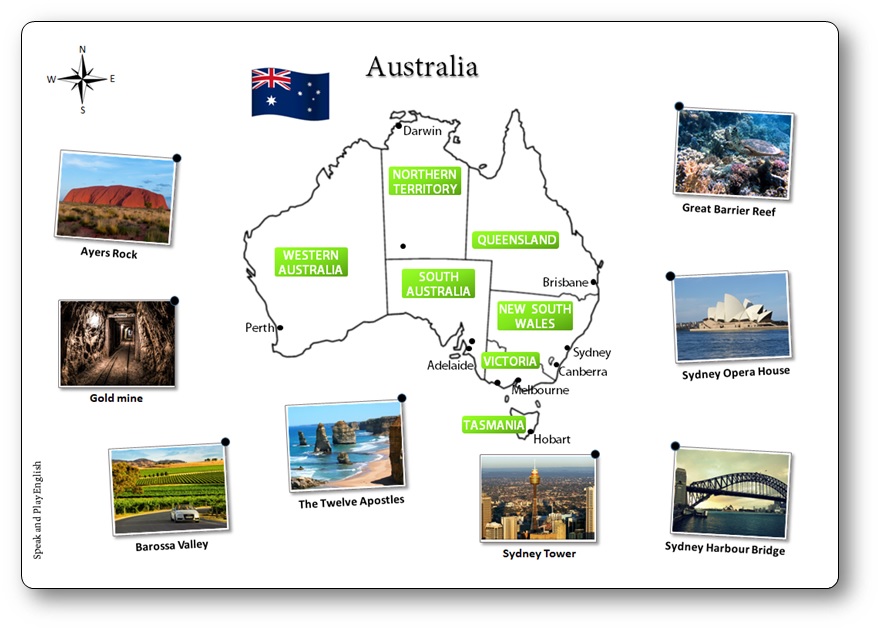
Learn about the names of the different Australian states and territories, mention where they are located in Australia, as well as how to pronounce them.
Culture and Vocabulary:
- the map of Australia
- the Australian flag
- states and territories : Western Australia, the Northern Territory, South Australia, Queensland, New South Wales, Victoria, Tasmania, The Australian Capital Territory
- capitals : Perth, Darwin, Adelaide, Brisbane, Sydney, Hobart, Canberra
- cardinal points : South, West, East, North
The country is divided into six states and two territories :
- The Australian Capital Territory (Canberra)
- In the North, there is the Northern Territory.
- Int the South, there is South Australia and Victoria.
- In the East, there is Queensland and New South Wales.
- In the West, there is Western Australia.
- The island in the South is Tasmania.
Language Structures:
- How many parts do you see on this map of Australia ?
- Can you name each of them and the principal towns ?
- Where can you find this monument ? Where is this site ? Show me on the map.
- Describe the picture. What can you see?


Uluru is the correct name for Ayers Rock. It was officially changed years ago. It should be reflected here.
Thank you for your feedback! I have just updated the PDF to reflect the correct name, Uluru. Please feel free to let me know if you have any other suggestions.